 Lorraine Williamson
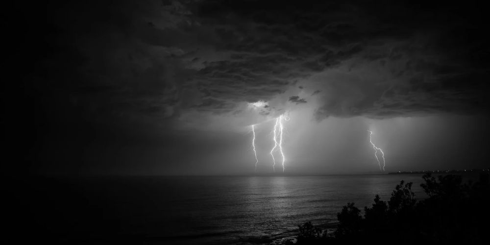
The Canary Islands Government has issued an updated rain alert for La Palma, El Hierro and La Gomera, warning that intense downpours could bring more than 30mm of rainfall in just one hour on Monday 2 November. The alert takes effect at midnight, with the heaviest showers expected during the morning and early afternoon, while Tenerife and Gran Canaria remain under pre-alert as unsettled weather continues across the archipelago.
The latest warning, announced on Sunday evening, reflects growing concern about unstable weather conditions affecting the western Canary Islands. Emergency officials say the exact location and intensity of the heaviest rain remain uncertain, so residents and visitors should follow local forecasts and take precautions before travelling.
Three Canary Islands face heavy rain on Monday
The regional government’s Directorate General for Emergencies confirmed that La Palma, El Hierro and La Gomera will be under rainfall alert from 00.00 on Monday 2 November. The decision follows updated information from Spain’s national weather agency, AEMET, and other meteorological sources, under the Canary Islands’ emergency plan for adverse weather.
Forecasters expect considerable convective activity around the three islands, producing scattered but potentially very intense showers. Rainfall could exceed 30mm in an hour, particularly before 3.00 pm, although officials have warned that heavy showers may continue into the afternoon.
The Canary Islands Government’s official emergency bulletin, published on 1 November, confirms that the alert covers all three islands. The authorities are continuing to monitor the developing weather system and may revise the warnings if conditions change.
Tenerife and Gran Canaria remain under pre-alert
Although the highest level of regional concern has shifted towards La Palma, El Hierro and La Gomera, heavy rainfall is also expected on Tenerife and Gran Canaria. Both islands remain under pre-alert, with showers potentially delivering more than 20mm of rain in an hour.
The northern and metropolitan areas of Tenerife are considered particularly vulnerable to the heavier showers. This follows Sunday’s warnings, when parts of Tenerife and La Palma were already placed under alert as the unsettled weather began affecting the archipelago.
Conditions are expected to remain changeable on Tuesday 3 November, when further rain is forecast across the mountainous islands. However, the regional government currently expects Tuesday’s showers to be more scattered and generally less intense than those forecast for Monday.
Flooding risk and possible travel disruption
Heavy rainfall over a short period can create hazardous conditions in the Canary Islands, particularly in steep terrain, ravines and areas where surface water drains rapidly towards lower ground. Even relatively localised storms can produce dangerous torrents, making roads and low-lying areas vulnerable to sudden flooding.
Drivers are advised to avoid flooded roads, reduce speed during heavy rain and stay away from ravines and watercourses. Residents should also check drains and secure doors and windows where water could enter their properties.
Emergency authorities have not announced widespread transport closures in their latest bulletin, and the rainfall forecast should not be taken as confirmation that flights, ferries, or roads will be disrupted. However, anyone travelling on Monday should check directly with their airline, ferry operator or local road authority before setting off.
What residents and visitors should do
The Canary Islands Government is urging the public to follow its official safety recommendations while the weather remains unstable. People are advised to avoid unnecessary journeys during intense downpours, stay away from areas prone to flooding and never attempt to cross roads covered by moving water.
Those planning outdoor activities, particularly hiking in mountainous areas or walking through ravines, should reconsider their plans if heavy rain is forecast. Visitors unfamiliar with the islands’ terrain should be especially cautious, as conditions can change quickly over relatively short distances.
Weather warnings and forecasts can be checked through AEMET’s official warning service, while the Canary Islands emergency service publishes updates on regional alert levels. Anyone facing an immediate emergency should call 112.
The coming hours will be important in determining how the weather develops across the western islands. With the strongest showers forecast for Monday morning and early afternoon, residents and visitors are being encouraged to prepare in advance and remain alert to further official announcements.