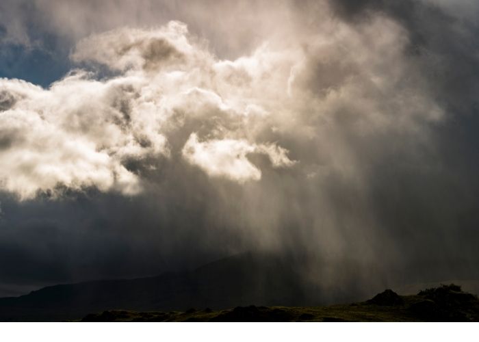
Spain has been enjoying the wonderful weather for a long time, which just didn’t seem to want to give way. However, from Sunday onwards, there is a warning winter is coming. Things will change and intense cold, heavy rain, and snowfall will fall on large parts of Spain. A consequence of a polar jet in the northern hemisphere.
In the coming week, the Iberian Peninsula and most of Western Europe will suffer the severity of the first winter DANA (isolated high-level depression) of the season, due to the intensification of the undulations of the polar jet coming from the Northern Hemisphere.
What is a polar jet?
But what exactly is this jet? It is like a ‘river of very strong air’, which can reach a speed of 150 to 300 kilometres per hour. The jet originates at an altitude of about 9,000 metres and flows around the North Pole from North America to Europe and then to Russia. In addition, according to meteorologist Francisco Martín of Meteored, the polar jet is a conductor of gusts, anticyclones, and more DANAs. The polar jet stream from the northern hemisphere is located at high latitudes in summer and spring – near Norway and Iceland – and migrates to lower latitudes in autumn and winter, as far as France. During this period, it also intensifies and can surge with air currents that even reach the Canary Islands, according to the expert.
A similar phenomenon also occurs in the southern hemisphere. It orbits the South Pole in a similar way, although it behaves differently from its northern counterpart.
Temperature fluctuations
From Sunday onwards, there is a chance of an intense influx of cold air, precipitation, and snowfall in Spain. According to Martín, the arrival of cold air through the north of the Iberian Peninsula ‘would be generated by an isolated high-level depression (the DANA). Combined with high winds, this could lead to gusts and showers. This polar jet undulates and swings, bringing warm air from low latitudes to the Pole and cold air from the North Pole to our latitudes,’ Martín explains.
These undulations at 9,000 metres above sea level lead to temperature anomalies on the Earth’s surface. In this case, it will cause a drop in temperatures in Western Europe, as it has a north-south direction, with the consequent influx of cold air, as shown on the map.
First storm of the winter season
And it is precisely when the polar jet undulates a lot that DANAs are formed. And that is exactly what is going to happen from Sunday 21 November and all through next week. A large wave of cold air will enter Western Europe, leading to a complete winter storm; the first of the season. A lot of snow will fall in the Cantabrian Mountains, the Pyrenees, the Galician massif, the el ‘Sistema Central’ in Segovia, and the Iberian system.
When it is very cold in one area – in this case Western Europe – it is warm in another, to compensate. In this case, that applies to Turkey, Greece and southern Russia.


