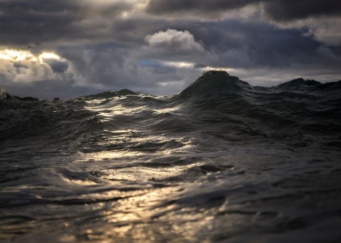
PALMA – In recent days, Storm ‘Blas’ has left strong gusts, a major maritime storm, and intense showers in some areas of the Mediterranean, especially in Menorca and the north and east of Mallorca.
Menorca has even been closed by the sea after the closure of the ports of Mahón and Ciutadella. And it’s not over yet. According to the Spanish weather institute Aemet, the storm has caused abundant rainfall in the Balearic Islands in recent hours, such as the 125 litres per square meter recorded yesterday in Son Torella, in the municipality of Escorca, and the 100 litres per square meter in Lluc.
The Balearic Islands are one of the areas hardest hit by this storm since last weekend. Furthermore, meteorologists fear it will get worse in the coming days. And that Storm ‘Blas’ will become a ‘medican’, a sort of ‘Mediterranean hurricane’. In other parts of the Mediterranean, such as along the coast of Barcelona, its effects are also being felt.
The ECMWF model shows that the storm is likely to move even closer to the Balearic Islands on Thursday. Moreover, potentially reaching the centre of the archipelago between Thursday and Friday. However, it won’t be until the weekend when Storm ‘Blas’ begins to lose intensity. Then, it is likely to move away from the islands, confirms Santi Segalà, head of meteorological forecasting at the Servei Meteorològic de Catalunya.
Segalà stressed it is a “very persistent” storm. According to the forecasts, the storm is not over yet. On the contrary, it is expected to last until next weekend.
Storm ‘Blas’ can become a medic
Meteorologists point out that according to some models, Storm ‘Blas’ could turn into a storm with the characteristics of a ‘medicán’, a contraction of the words hurricane and Mediterranean. It refers to a Mediterranean cyclone with the characteristics of a tropical cyclone only less powerful. Segalà is sure the effects of this phenomenon are already noticeable on Thursday and Friday, especially in the Balearic Islands. There are wind gusts of 90 km/hr and rainfall of more than 200 litres/m2 in the Balearic Islands. Coastal phenomena such as high waves of up to 8 metres must also be taken into account.
According to Eltiempo.es, these cyclones resemble hurricanes in that they have one eye in the centre with a large convective cloud development around it, but smaller in size than tropical cyclones. They can also cause strong wind gusts and large amounts of precipitation.
Rain
With regard to rain, it is warned that 100 litres/m2 can be reached in 12 hours. This would then mean a code orange. Areas in the north of Mallorca can expect even more precipitation, accompanied by a sustained storm for several days and certainly through Saturday.
Finally, Eltiempo.es warns Catalonia and the Valencian Community could also be affected by this cyclone. In Catalonia, rain is expected in the eastern half and for the Valencia region, the chance of rain is greatest in the south of Valencia and in the north of Alicante.


