WEATHER – Temperatures in Spain are set to drop to seasonally low levels for a short time and there will be heavy rain in some areas.
The bad weather is expected to hit parts of Aragon, Catalonia and Valencia in particular. In these areas, the heat alert turned to rain in less than 24 hours. According to Spanish weather service Meteored, ‘the intense heat that accumulates close to the earth will be the perfect trigger for the development of convective clouds’. These in turn will lead to a ‘cocktail of advancing storms’.
Unstable weather
The unstable weather in Spain, is caused by an approaching current from Brittany. This will then move north of the peninsula and will advance towards the Pyrenees.
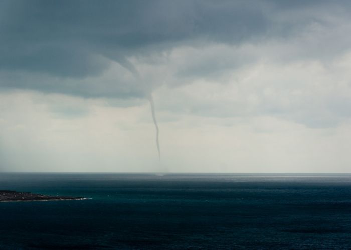
A collision of cool air with heat present in areas of the Mediterranean gives rise to heavy rain and storms. And, as Meteored points out, ‘even some tornadoes or waterspouts’. In addition, it will trigger a DANA, an isolated depression in the atmosphere at high level, on Wednesday morning.
Storms, heavy rain and strong winds
Catalonia on Tuesday maintained all its provinces code yellow (risk) for thunderstorms and rainfall of 20 litres in one hour. The region also issued code yellow in Girona. This was due to winds from the north and northwest, with force 7, and waves of 3 metres.
Aragon followed the same protocol for rain in Gúdar and Maestrazgo (Teruel) with a cumulative heavy rainfall of 20 litres in one hour, reported the National Meteorological Agency (AEMET), which also predicted the formation of thunderstorms in these areas.
Code yellow will apply throughout the Valencian Community from Tuesday for rainfall of 20 litres per hour. Also, for violent coastal phenomena in the provinces of Alicante and Valencia, with a north-easterly wind, force 7, and waves of 2 to 3 metres.
Strong winds reach Andalucia, where AEMET predicts gusts of up to 70km/hr in the southern third of the Almeria region. Meanwhile, in Granada and Málaga there is also a warning. Winds come from the west and south-west with force 7 and cause waves of 2 to 3 metres here. Weather service Meteored adds that there will be heavy rainfall in the Cantabrian regions, ‘storms in the north-east’ and instability in the Balearic Islands.
Temperature dropdown
As for temperatures, after the highs recorded this weekend, Meteored says thermometers will drop to “values below those usual for the time of year”. AMET predicts maximum temperaturs on Tuesday of below 20º for the northern half or the peninsula. The code yellow does not mean a meteorological risk for the population in general. However, there is a risk for some specific activities.
Related post: Extraordinarily early heatwave in Spain peaks on Saturday


