July 2022 broke the 2015 record as the warmest month ever recorded in Spain, with an average temperature (26.6 ºC) higher than that of any month since these data were studied in 1961. The first half of August was also hot and dry in Spain. However, that now seems to be changing.
The Spanish Meteorological Agency (Aemet) is predicting heavy thunderstorms in the northeast and rain in the Cantabrian region and Galicia. In the latter areas, temperatures will drop significantly inland, although the drop will affect the entire north-western part of the peninsula. However, on the northern plateau there will be less chance of precipitation. An Atlantic front is moving across the northern half of the peninsula, leaving cloudy or partly cloudy skies.
In north-eastern Spain it will be cloudy during the day. which will lead to showers and thunderstorms. These are most likely in the Pyrenees and areas of Aragon and Catalonia, where they could be heavy. In the Balearic Islands it will be partly cloudy with a mix of low and high clouds. There may also be cloud cover in the rest of mainland Spain, as well as in the north of the Canary Islands, where it may also rain lightly in the north.
Below average temperatures and chance of hail
Daytime temperatures will drop in the north-western part; of the peninsula, a drop that may be noticeable in the interior of Galicia, and with little change or slight drops in the rest of the country. However, nighttime temperatures will show little change. In the Balearic Islands and much of the peninsula, except for the northeast, a westerly wind is expected. In the Canary Islands, trade winds from the northeast are predicted.
Weather service Meteored announces that “a heavy front is threatening with powerful storms that will lead to a significant drop in temperatures. The weather website predicts that temperatures will be “several days below average for this time of year. Specifically, it speaks of between four and eight degrees lower than usual for the month of August, especially in the centre and north. Moreover, this is true for Wednesday and Thursday. It is likely that by the end of the week, temperatures will return to normal or even above average values.
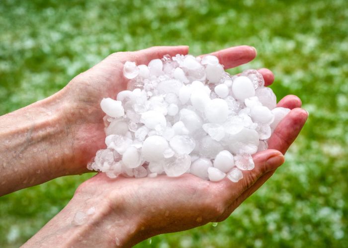
Meteored emphasises there is a high probability that some of the storms will manifest themselves in the form of medium or large hail. In addition, locally powerful or very powerful wind gusts will occur. ‘Basically, the Ebro Valley, the Pyrenees and the Iberian system will be particularly affected by this. However, once the front leaves the peninsula, during Friday, the stormy situation is likely to subside.


