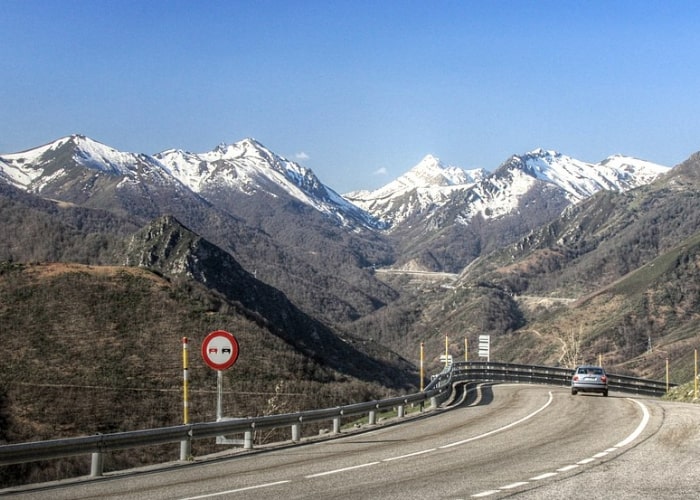
MADRID – On Saint Joseph’s Day on March 19, also Father’s Day in Spain, there is a good chance that it will snow in various parts of the Iberian Peninsula and the Balearic Islands.
The month of March usually has a variable character and the temperature can therefore change radically in a short time. Forecasts suggest that one of these changes in the meteorological situation, a classic “marzada“, may take place after this weekend.
José Antonio Maldonado, expert at Meteored, defines the word “marzada”. It does not appear in any dictionary. It is the sudden changes in temperature common in March and referred to in many proverbs and sayings. These obviously sound better in their native language than in translation.
- “March, marches: cold air and hailstorms” (Marzo, marzadas: aire frío y granizadas);
- “March, scorer, it rains in the afternoon and in the morning it is sunny” (Marzo, marceador, llueve por la tarde y por la mañana hace sol);
- “March, worse than his father February” (Marzo marcero, peor que su padre febrero.
However, you may be more familiar with:
- “If March comes in like a lion, it goes out like a lamb”;
- “March is the month when winter and spring collide”;
- “In march winter is holding back and spring is pulling forward”.
According to Maldonado, we will have to wait a while to see if the icy air mass is really moving to Spain from a great height and from the European continent. Currently, maximum temperatures are around 20ºC in the Mediterranean regions and in the rest of the south of the peninsula. And not so high, but relatively mild, in much of the northern half of the country.
“On weekends there is night frost in the higher mountain ranges and in various parts of the interior. Sunny days alternate with more changeable days in all regions. Because of the passing of a front from which some rain will fall in the northern half, mainly in Cantabria.
A cold Father’s Day
In the following week, prior to the arrival of spring and coinciding with the long weekend of the Día de San José, a significant burst of cold air could hit the country. Especially from Thursday the 18th.
The clear wave of the polar air current will cause an intense anti-cyclone to appear in the British Isles. Meanwhile a storm will form in eastern Europe resulting in a northern wind corridor on the 16th and 17th. Thus diverting a cold air mass present in Central Europe to the Iberian Peninsula.
According to Francisco Martín, a meteorologist at Meteored, both precipitation and wind in the peninsula and the Balearic Islands could be affected by two secondary low-pressure centres that will be critical in the coming week.
One of these storms in the Gulf of Genoa (Italy) will determine the level of precipitation in the northeast of the peninsula and the Balearic Islands. The other could cause severe weather in the rest of the Mediterranean east coast, where the snow line will also drop.
Heavy snow like in January?
After the great storm Filomena, the question is whether this level of storm can be reached again. Yet it seems unlikely that the weather will snow that hard and much. Martín provides some clues to understanding why this phenomenon will not repeat itself. The arrival of cold air expected next week will not be accompanied by subtropical humidity as with storm Filomena. Next week there will only be a cold air duct which can cause snow at some points, as well as in some north and southeastern coastal areas.


