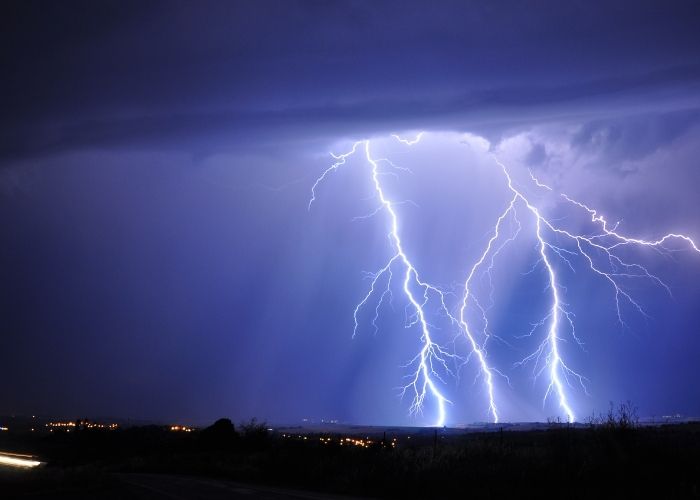
WEATHER – The sun and heat will remain in Spain for the rest of the week. However, storm activity is increasing as a result of the abnormal heat in large parts of Spain. Severe storms are expected, especially on Friday and Saturday.
So says José Miguel Viñas of Eltiempo.com. Yesterday, the sun continued to shine across the country and the heat was felt especially in the southwest of the peninsula. Maximum temperatures exceeded 35ºC in Córdoba and Seville. However, showers with thunderstorms had already formed in the northern half of the Iberian system, and more storms are expected on Friday and Saturday.
Thursday
Today (Thursday) it will be another sunny day, with only high clouds high in the sky. In the afternoon Viñas expects showers in the Cantabrian area and the northern part of the ‘Meseta’. It will rain heavily in the eastern part of Cantabria on Thursday evening. The heat will persist but will be slightly less intense.
Friday
Daytime temperatures will rise again on Friday. Storm activity will increase both in the Cantabrian Mountains area and in the mountains of the Eastern Peninsula, where the showers will gain ground.
Saturday
A similar situation will be seen on Saturday, with cloudier skies in the north of the peninsula and afternoon showers, preferably in mountain areas.
See also: Abnormal heat expected in Spain in the coming week
Few changes for Sunday with rising temperatures in the far north of the peninsula and along the Mediterranean.
Will the heat stay now?
If you haven’t changed your wardrobe yet, this weekend is the time to do it. April with unusually low temperatures for the time of year has given way to May with temperatures above normal again.
A subtropical air mass is currently causing an early summer spell that will last at least 15 days in most of Spain. Many hours of sunshine are expected, over 30 degrees in large areas and, as reported above, the occasional afternoon storm in mountainous areas.
It looks like the 2022 weather trend will be characterised by extremes. This year so far this year we have moved from a dry season to an unusually cold April, with abundant rain and snow at levels very unusual for this time of year.
A very different situation than in May, with summer temperatures and many hours of sunshine. And it looks like it won’t change for the next 15 days or more.


