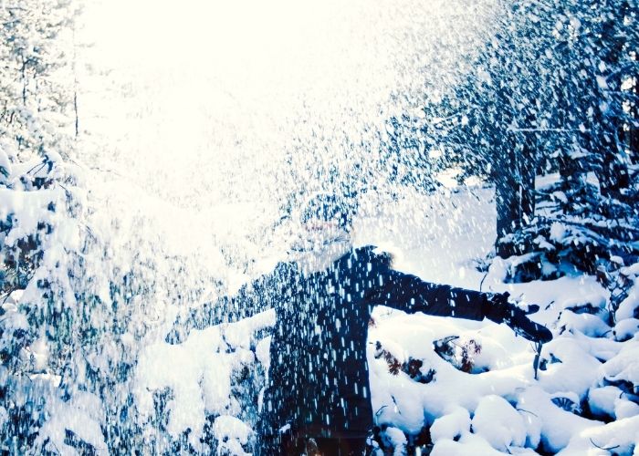
MADRID – The first winter stormy weather of the season in Spain mainly affects the northern half of the Iberian Peninsula. This is accompanied by arctic cold, significant snowfall, and heavy rain showers in lower areas.
Warnings for cold, rain, snow, and coastal phenomena cover much of the map of Spain. The DANA (High-Level Isolated Depression) has become an isolated cold shower at lower levels, causing flooding and disturbances from snow and hail across the country.
Where does it snow the most?
The orange snow warnings have been disabled by AEMET, many of them turn yellow. On Wednesday, snow warnings will be active in the northern and southern provinces of Castilla y León, inland Asturias, southern Aragon, and the Lleida Pyrenees.
In all mountain ranges in the north and the centre of the country, the chance of snow is high in the coming hours. The snow line there is on average around 1,000 meters: in the Cantabrian Mountains, 1200/1400 m; in the Pyrenees, about 1,400 m; in the central and Iberian systems and the mountains of the southeast of the peninsula, 800/1000 m and in the east of the Meseta, occasionally falling to 800/900 m.
The snowstorm is expected to last longer in the far north than in the rest of the country. In the Cantabrian Mountains, it could be over a meter of snow with constant showers from the north until the end of this week.
Is it going to rain all week?
On Wednesday, very heavy rain will fall in the northeast of the country in the lower areas. This can lead to large accumulations of water in regions such as Catalonia, Aragon, the Balearic Islands, and the north of the Valencian Community. Code yellow for rain also applies in areas of Asturias and Cantabria in the northwest of the country.
with quantities between 40 and 45 mm in 12 hours. The rain will continue through Thursday on a large part of the Spanish territory. Only the southeast of the country remains free of it. The Canary Islands can also count on heavy showers.
From Friday, the chance of snow and rain is greatest in the northern half of the peninsula, especially in the far north, and in the two archipelagos. A lot of snow is expected in the mountainous areas in the north of the peninsula.
How long does the cold stay in Spain?
The cold weather will continue throughout the week. The cold flow from the north will continue to dominate in the second half of the week. Air masses from higher latitudes will keep temperatures below normal values for the time of year. Temperatures in the Canary Islands will drop from Thursday, coinciding with the period of heavy rainfall in the archipelago.


